
10200 W 17700 S, Fillmore, Utah 84631
- $85,000

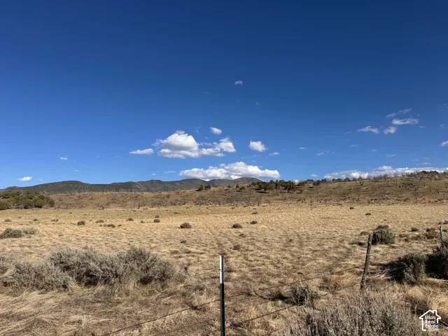
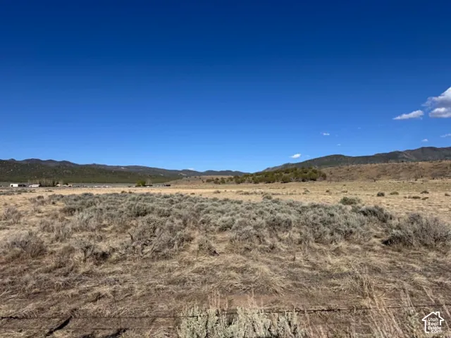
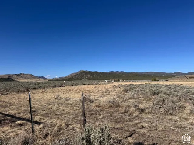
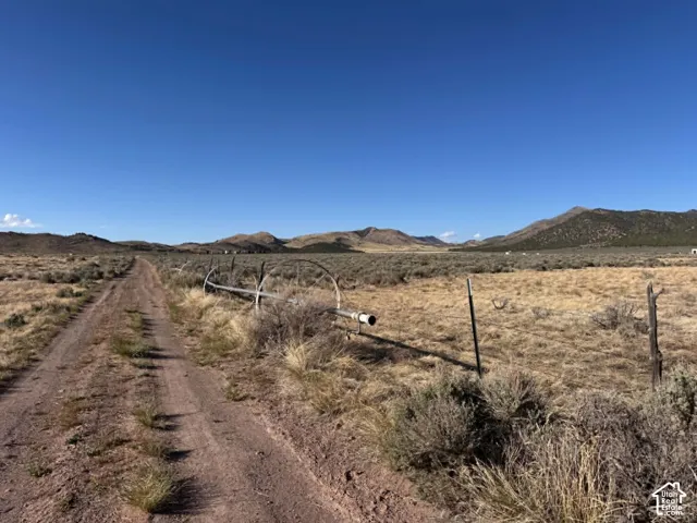
- $85,000
Overview
- Land, Residential
Description
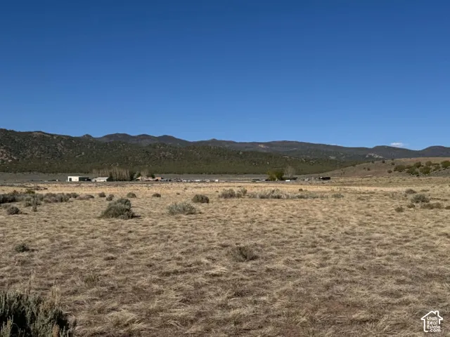
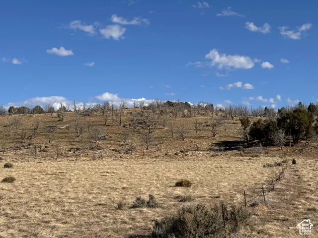
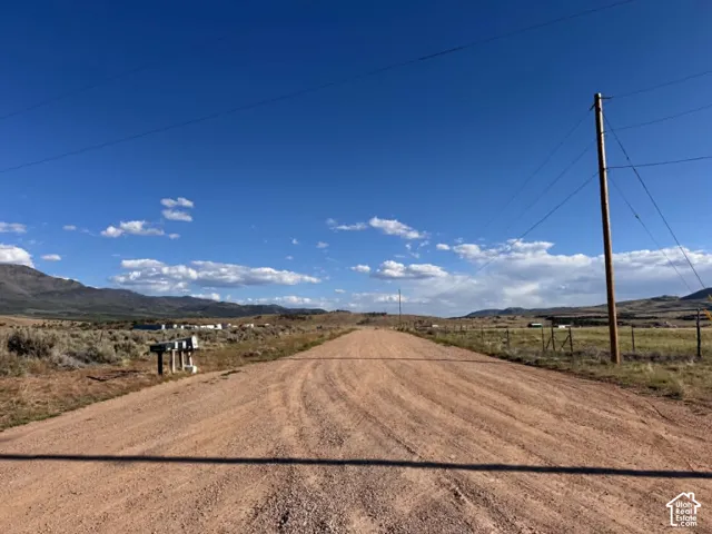
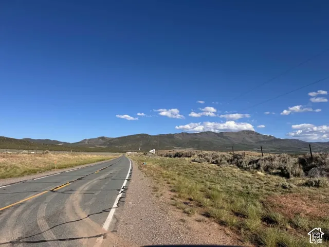
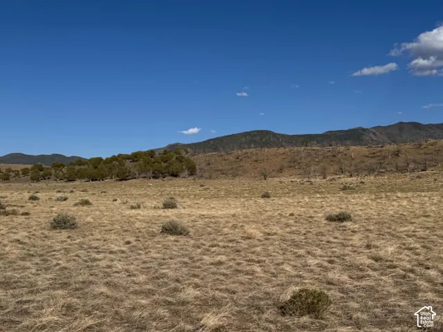
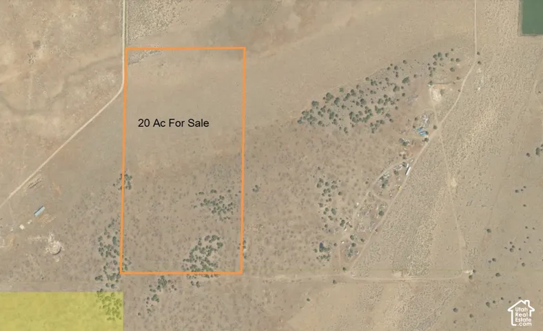
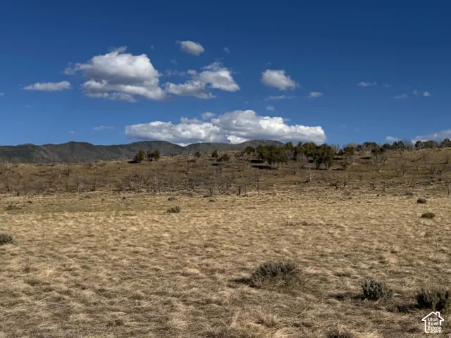
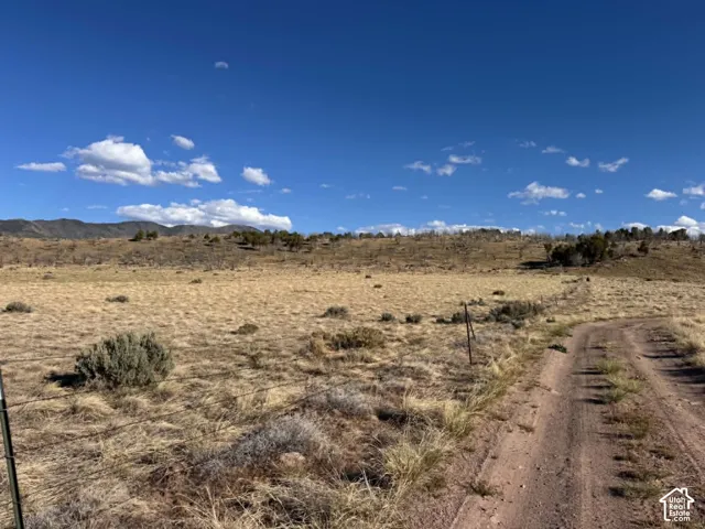
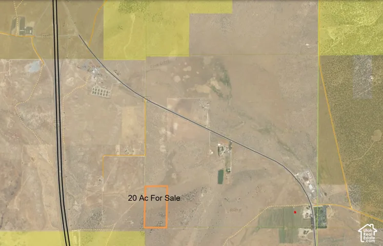
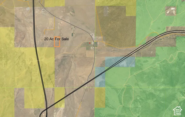
20 acres of open pasture ground, partially fenced. North end is flat and the south end has a small hill that makes this a super fun get-away, homesite or investment property for future growth. Address based out of Fillmore City, but located at Cove Fort area (intersection of I-70 and I-15 near the Millard/Beaver County line). If you want to use for a building lot, you can apply for 1.73 acre feet of underground water rights through the Utah Div of Water Rights, Cedar City office. To access, at the North Cove Fort Exit, follow the old Hwy 161 SE towards the historic fort. Turn south on 10, 200 West St. Follow that gravel road approx 1/2 mile to the NW corner of the property. See maps in photo reel of approximate outline of the property. Address based off Fillmore address grid.
Address
Open on Google Maps-
Address: 10200 W 17700 S, Fillmore, Utah 84631
-
City: Fillmore
-
State/county: UT
-
Zip/Postal Code: 84631
-
Country: US
Details
Updated on October 8, 2026 at 5:28 pm-
Property ID HZ2161979
-
Price $85,000
-
Land Area 20 Acres
-
Property Type Land, Residential
-
Property Status Active
Additional details
-
Listing Terms Cash, Conventional
-
Utilities Electricity Available
-
County Millard
-
Property Type Land
-
Elementary School Fillmore
-
Middle School Fillmore
-
High School Millard
Mortgage Calculator
-
Down Payment
-
Loan Amount
-
Monthly Mortgage Payment
-
Property Tax
-
Home Insurance
-
PMI
-
Monthly HOA Fees